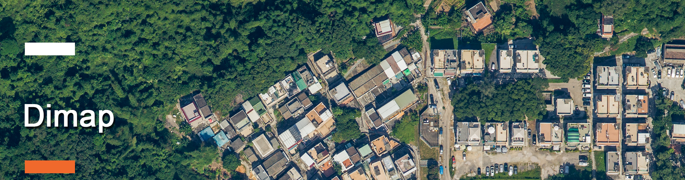
Dimap is since more than 25 years a one-stop shop for the acquisition of remote sensing data from airborne, UAV, and mobile data platforms.
The company owns all sensors and is therefore capable of adapting best to client requests. Dimap operates worldwide with permanent offices in Hong Kong and Freiberg/Germany and project offices in Africa, the Middle East, Australia, and South America.
Dimap processes all data in-house to different levels and provides together with engineering partners even further services. 30% of all Dimap projects are research and development related, the company is integrated into the academic world.
Tools
- High resolutions Hasselblad cameras set for 3D modeling
- Full waveform light detection and ranging (LiDAR) for 632nm (water penetrating), 1064nm, and 1552nm for land surveys
- Hyperspectral multiband VNIR and SWIR sensors
- Midwave Thermal infrared cameras and Longwave Thermal Hyperspectral scanners
- Ground GPS, field spectrometer, and laboratory support tools
Applications
- Hyperspectral analysis of geology and geomorphology
- Mineral mapping
- Gas leakage detection
- Monitoring of vegetation health
- Tree counts and canopy models
- Environmental monitoring of dust pollution
- Erosion monitoring and mineral analysis in cliff faces
- Carbon footprinting models
- Thermal monitoring of urban areas
- Pollution monitoring in the air
For the complete picture, call Dimap and our team will walk you through solutions tailored to your business.